Kondalilla and Mapleton Falls sit about eight kilometres apart in the Sunshine Coast Hinterland, best visited April to October for cooler walking conditions. A single day suits both, with short, near-flat lookout walks of roughly 400 and 200 metres rated easy. The drive through Montville, Flaxton and Mapleton is the other highlight. Entry is free, but a hire car is essential since public transport doesn't serve the parks; Sunshine Coast Airport is the nearest gateway.
Why These Two Waterfalls Work So Well Together
Kondalilla and Mapleton Falls sit roughly eight kilometres apart by road — close enough to visit in a single day, far enough apart that the drive between them is half the pleasure. The hinterland road linking Montville, Flaxton and Mapleton loops through rainforest canopy, past small orchards and farm gates selling local produce. It's the kind of road that rewards those who don't rush it.
Both parks are managed by the Queensland Parks and Wildlife Service and both are entirely free to enter. That's not a minor detail — it means you can simply pull in, walk, sit by the water, eat your lunch and leave without a transaction in sight. For travellers who've spent decades paying entry fees from Uluru to the Uffizi, there's something quietly satisfying about that.
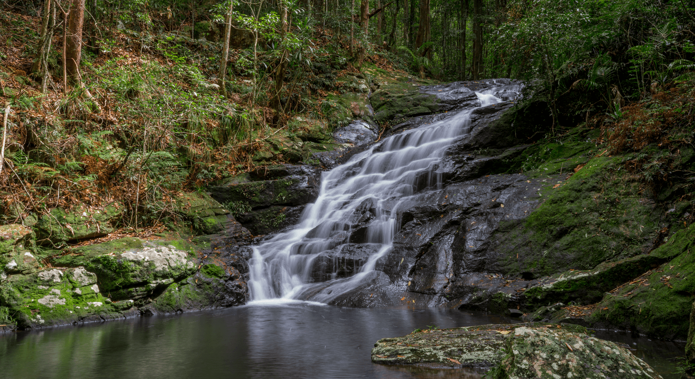
The two falls are also genuinely different in character. Kondalilla drops 90 metres into a rainforest gorge — dramatic, lush, and best appreciated from the lookout platform above. Mapleton Falls, at around 120 metres, is Queensland's fourth-highest waterfall and best seen from the park's open escarpment lookout, where the Obi Obi Valley stretches out below. One is intimate and enclosed; the other is wide and airy. Between them, you get a proper sense of what the hinterland offers.
Kondalilla National Park: What the Lookout Walk Actually Involves
The Kondalilla Falls lookout walk is a return path of roughly 400 metres from the car park to the viewing platform. The surface is compacted and well-maintained, with a gentle downhill gradient on the way in — which means a gentle uphill on the return. For most people of reasonable fitness, this is a comfortable 15 to 20-minute round trip. There are no stairs at the lookout itself, and the platform has a railing.
The longer Kondalilla Falls circuit — around 4.8 kilometres with a steep descent into the gorge — is a different proposition entirely. It's rewarding if you're a confident walker with good knees and solid footwear, but the descent is genuinely steep and the return climb is demanding. There's no shame in doing the lookout walk and calling it done; the view from the platform is the headline act anyway.
The picnic area near the car park has tables and shelter, and it's a pleasant spot to stop before or after the walk. The rainforest here is dense and cool even on warm days, which is one reason the park is popular year-round. Arrive before 10am mid-week and you'll likely have the lookout to yourself.
Mapleton Falls: The View That Opens Up the Valley
Mapleton Falls National Park is a short drive north along the hinterland road, just on the edge of Mapleton township. The lookout walk from the car park is around 200 metres on a flat, sealed path — genuinely flat, not 'Queensland flat'. The viewing platform at the end looks out over the fall itself and, beyond it, the full sweep of the Obi Obi Valley. On a clear morning, the light across that valley is worth the drive from anywhere on the Sunshine Coast.
Like Kondalilla, Mapleton Falls has a longer circuit track that descends into the gorge below the falls. It's rated moderate to difficult and involves some rough terrain. The lookout, however, requires nothing more than a willingness to walk 200 metres. Bring a hat — unlike Kondalilla, the Mapleton lookout area is more open to the sun.
There are picnic tables at Mapleton Falls too, and the township of Mapleton itself is just minutes away. The town has a small bakery, a pub with a veranda, and a handful of local shops. It's the kind of place that still feels like a genuine village rather than a tourist precinct — which, depending on your tolerance for lavender-scented fudge shops, may be exactly what you're after.
The Drive: Montville, Flaxton and Mapleton
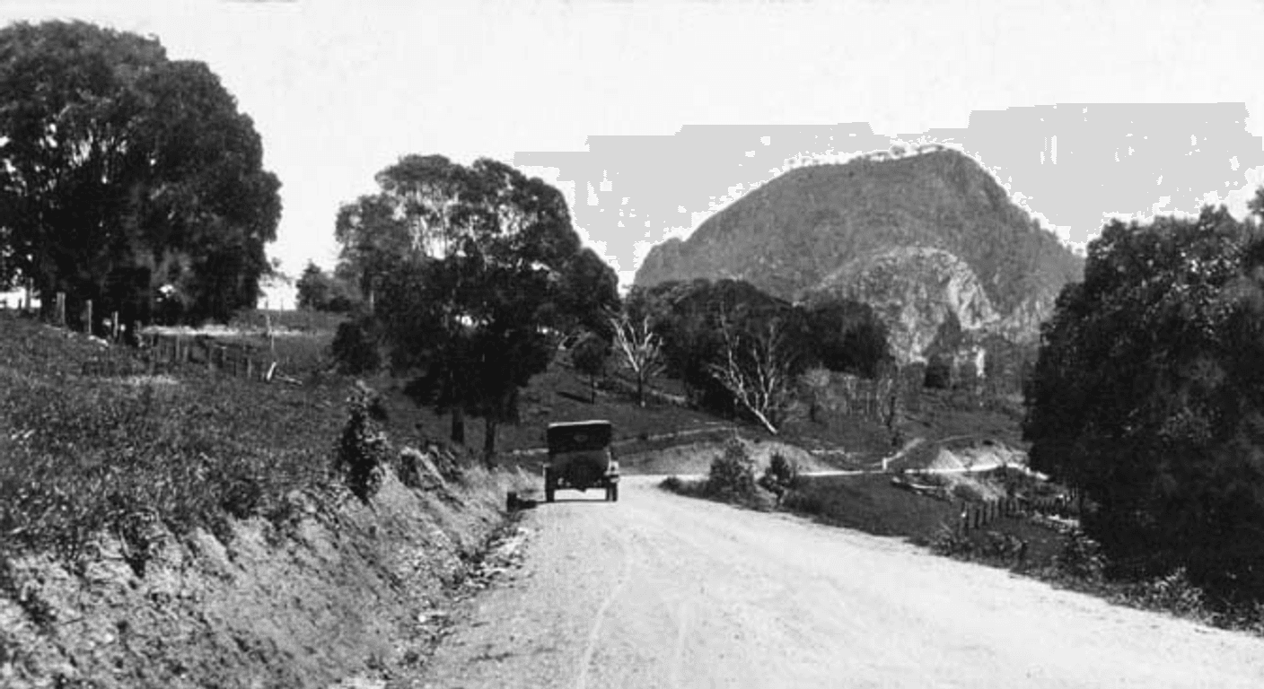
The road through the hinterland between these towns is part of what makes this day trip work. Montville sits at the southern end, a well-known hinterland village with cafes, galleries and a main street that manages to be popular without feeling entirely overrun. Flaxton, a few kilometres north, is quieter — a cluster of gardens and small producers. Mapleton anchors the northern end.
The roads connecting them are sealed but narrow in sections, with sharp bends and the occasional steep drop on one side. They're entirely manageable in a standard car, but not roads you want to rush. The speed limits reflect that. If you're driving a motorhome or towing anything, check road suitability before you set out — some of the tighter sections near Flaxton are better suited to smaller vehicles.
Allow at least 90 minutes for the full drive between Montville and Mapleton if you're stopping for views, produce stalls and the odd photo. The Sunshine Coast Hinterland Tourist Drive is signposted and can help orient you. Confirm the current route markers with Sunshine Coast Council's website before the trip, as signage on some sections has been intermittent.
Planning the Day: A Sensible Order of Stops
A logical approach is to start at Kondalilla in the morning — the light in the rainforest is softer early, and the car park fills later in the day. From there, drive north through Flaxton toward Mapleton Falls for the mid-morning lookout walk, then head into Mapleton township for a late breakfast or early lunch. The afternoon can be spent exploring Montville on the return south, or simply driving the ridge road at a pace that lets the view do its work.
If you're based in Noosa, the drive to Kondalilla takes around 40 minutes via Eumundi. From Caloundra, it's roughly 50 minutes. Both parks have free car parking. Fuel up before you head into the hinterland — servo options thin out once you're on the ridge.
Packing a picnic is genuinely worth considering. Both parks have good picnic facilities, and eating lunch beside a waterfall with no queue and no bill is one of those simple pleasures that doesn't require much justification. A cool bag with good cheese, bread from a Montville bakery and something decent to drink covers it.
Seasonal Conditions and When to Go
April through October is the most comfortable window. Temperatures on the hinterland ridge sit several degrees below the coast — often 5 to 8 degrees cooler — which makes walking in autumn and winter genuinely pleasant. The waterfalls flow year-round but are at their most impressive after rain, which is more likely in the wet season (November to March). That said, summer rain in this region often arrives as afternoon storms, so morning visits in the wet season can still be fine.
School holidays bring more families to both parks. Mid-week visits outside Queensland school holiday periods are the quietest. The hinterland is popular with day-trippers from Brisbane too, so weekends in the cooler months can be busier than you might expect. There's no booking required for either park — you simply arrive.
For travellers flying up from Melbourne or Sydney, the Sunshine Coast Airport at Marcoola is the most convenient gateway. Direct flights operate from both cities; flight time from Melbourne is around two hours. A hire car is essentially required — public transport does not serve the hinterland parks directly. Confirm current flight and hire car options with your preferred providers before booking.
Practical Notes for Comfortable Visiting
Both lookout walks are suitable for travellers with a moderate level of fitness. The paths are compacted and even, with no significant obstacles on the short lookout routes. Those with mobility aids should note that some sections near the viewing platforms have gentle slopes and may have minor surface variations — checking current track conditions with Queensland Parks before visiting is worthwhile, particularly after wet weather.
Insect repellent is advisable in the rainforest sections, particularly in the warmer months. Closed shoes are better than sandals on the bush paths. Both parks have basic facilities but no café or kiosk — everything you want to eat or drink comes with you or from Mapleton and Montville.
Travel insurance is always worth reviewing before any trip, particularly for travellers with pre-existing conditions. For a domestic day trip like this, the main practical consideration is checking that your policy covers any medical evacuation from a national park setting — a standard clause in most comprehensive policies, but worth confirming. The Queensland Parks website (parks.des.qld.gov.au) has current track conditions and any temporary closures.
Quick planning guide
| Ideal pace | Slow-paced, unhurried day trip |
|---|---|
| Best months | April to October, when hinterland temperatures are cooler |
| Suggested stay | A single day, pairing both waterfalls |
| Mobility level | Easy on the short lookout walks (400m and 200m, largely flat); longer circuit tracks are steep and better suited to confident walkers |
| Cost level | Free entry to both parks; budget-friendly overall |
| Comfort level | Casual, self-sufficient — basic facilities and picnic areas, no cafés on site |
| Best for | Travellers who enjoy scenic drives, short nature walks and relaxed picnic stops |
| Main planning consideration | A hire car is essential, as public transport doesn't reach either national park |
Key takeaways
- Both Kondalilla and Mapleton Falls are free to enter, with no booking required.
- The lookout walks at both parks are short and near-flat — around 400 metres and 200 metres respectively — and suit a modest fitness level.
- The longer circuit tracks at both parks involve steep descents and are best left to confident, experienced walkers.
- The hinterland drive between Montville, Flaxton and Mapleton is winding and scenic — allow 90 minutes if you're stopping along the way.
- April to October offers the most comfortable conditions; mid-week visits outside school holidays are the quietest.
- A hire car is essential — public transport does not serve either national park.
Recommended partners and links
Indicative prices only — always confirm with the operator before booking.
Frequently asked questions
Are the walks at Kondalilla and Mapleton Falls suitable for older travellers with average fitness?
Yes. The lookout walks at both parks are short and largely flat. Kondalilla's lookout walk is around 400 metres return with a gentle gradient; Mapleton Falls' lookout path is approximately 200 metres on a flat, sealed surface. Neither requires significant fitness. The longer circuit tracks at both parks are steep and demanding, and are entirely optional.
Is there an entry fee for Kondalilla or Mapleton Falls National Park?
No. Both parks are free to enter and have free car parking. No booking is required — you simply arrive and walk.
How far apart are Kondalilla and Mapleton Falls, and can you visit both in one day?
The two parks are roughly eight kilometres apart by road through the hinterland. Visiting both in a single day is very comfortable, with time left for lunch in Mapleton or a stop in Montville. A full day allows a relaxed pace; half a day is possible if you're pressed for time.
What is the best time of year to visit the Sunshine Coast Hinterland waterfalls?
April to October is generally the most comfortable period, with cooler temperatures on the hinterland ridge and lower rainfall. The waterfalls flow year-round and are most impressive after heavy rain. Summer visits are possible but afternoon storms are common — morning starts are advisable if visiting in the wet season.
Can you get to Kondalilla and Mapleton Falls by public transport?
No. Public transport does not serve either national park directly. A hire car or private vehicle is required. The nearest major gateway is Sunshine Coast Airport at Marcoola, with direct flights from Melbourne and Sydney. Confirm current hire car availability with providers before booking.