Gloucester, a Manning Valley town of around 2,600 people, sits beneath Barrington Tops National Park, part of the Gondwana Rainforests World Heritage Area. The defining highlight is ancient Antarctic beech forest on a cool 1,500-metre plateau, best visited in the shoulder seasons of September–November or March–May. A three-night stay suits the pace. Mobility ranges from easy riverside strolls to a moderate-to-hard summit walk. NSW TrainLink reaches Gloucester directly via Taree, though a car or local tour is needed for the unsealed, weather-dependent Gloucester Tops Road.
Why Gloucester Works as a Base
Most Australian mountain towns demand you drive to them. Gloucester doesn't. NSW TrainLink's regional rail service connects Sydney Central to Gloucester via Taree, with the journey taking roughly five to six hours — long, but genuinely comfortable in a reserved seat, and a far more civilised arrival than grinding up the Pacific Highway. From Melbourne, the realistic approach is an overnight train or coach to Sydney, a recovery night in the city, then the morning train north. It adds a day but it's worth building in: arriving rested matters when you're planning to drive a winding mountain road the next morning.
The town itself is small enough to walk across in twenty minutes. Church Street has a handful of good cafes, a well-stocked IGA, a pharmacy and a couple of heritage pubs that have been serving travellers since the cedar-cutting days. The Bucketts range frames the eastern skyline — a jagged silhouette of exposed rock that gives Gloucester its character. Accommodation runs from pub rooms above the bar to self-contained cottages on the edge of town and one comfortable motel. For a solo traveller, the pub option has a particular appeal: the dining room fills with locals in the evening, and a quiet beer after a day in the park rarely disappoints.
What Makes Barrington Tops Worth the Journey
The Gondwana Rainforests of Australia World Heritage Area covers a series of disconnected parks along the Great Dividing Range, but Barrington Tops is among the most accessible and ecologically significant. The plateau sits above 1,500 metres and supports Antarctic beech trees — Nothofagus moorei — that are relics of the ancient supercontinent Gondwana. Some of these trees are thought to be centuries old. Standing among them in mist, with their moss-covered trunks and gnarled canopy, is an experience that doesn't need embellishment.
The park also encompasses lower-altitude subtropical rainforest, dry sclerophyll forest and subalpine bogs, all within a single drive. The transition as you climb is visible and surprisingly rapid — the air cools, the vegetation thickens, the road narrows. By the time you reach the Gloucester Tops picnic area, roughly 45 kilometres from town, you're in a different world to the Manning Valley floor below. That contrast — warm river town, cold ancient forest — is what makes the combination work so well.
Driving the Gloucester Tops Road: What to Expect
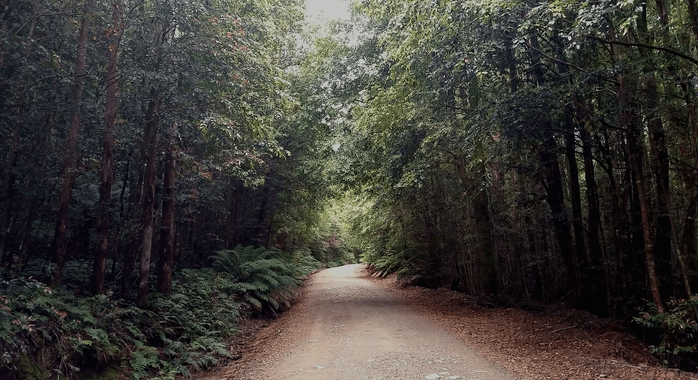
The Gloucester Tops Road leaves the edge of town and climbs steadily through private grazing land before entering the national park. It's unsealed for a significant portion of its length and includes sections that are genuinely narrow and steep. In dry conditions, a standard 2WD sedan can manage it — many do — but the road becomes treacherous after rain, and some sections may be closed. The only responsible advice is to check conditions with NSW National Parks before you set out, every time. Don't assume yesterday's conditions apply.
Allow at least two hours for the drive each way if you're stopping, which you should. There are several pull-offs with views back over the Manning Valley, and the light in the late morning is particularly good for photography. The drive itself is part of the experience — it's the kind of road that rewards patience and a willingness to pull over when something catches your eye. If you've hired a car or brought your own from Melbourne, this is one of those drives you'll remember. If you've come by train and don't have a vehicle, local tour operators run day trips to the plateau; the Gloucester Visitor Information Centre can advise on current options.
Fuel up in Gloucester before you go. There's nothing on the Tops.
Walking in the Park: Honest Track Grading
Barrington Tops offers a wider range of walking than most visitors expect. At the easier end, the Gloucester River walking track follows the river through open forest and is essentially flat — a comfortable morning walk that suits anyone who wants to be in the landscape without the elevation gain. The river here is clear and cold, and in summer the sections near the campground are genuinely inviting for a swim.
The Careys Peak walk is the one most visitors attempt on the plateau. It's around 9 kilometres return from the Gloucester Tops picnic area and gains meaningful elevation. NSW National Parks grades it as moderate to hard, and that's honest — the track is well-defined but the surface is uneven, and some sections require care. For a 69-year-old in good condition with solid footwear, it's achievable and deeply rewarding. For anyone with knee issues or balance concerns, the first two kilometres to the beech forest are the most significant section, and turning back there is a perfectly valid plan. Don't let the full-track distance be the measure of the day.
The subalpine bogs near Polblue are worth a separate mention. The boardwalk there is flat, short and extraordinary — sphagnum moss in every direction, insectivorous plants, and a silence that feels earned. It's the kind of walk that takes twenty minutes and stays with you for years.
Swimming Holes, Cold Snaps and Seasonal Reality
The Gloucester River swimming holes are one of the town's understated pleasures. Several are accessible by short walks from the campground and picnic areas within the national park's lower section, and the water in summer is cold enough to be refreshing without being punishing. The holes near the Gloucester River Campground are the most visited; arrive on a weekday if you prefer the place to yourself.
Temperature on the plateau is a different matter. Even in December and January, the Tops can be genuinely cold — temperatures can drop below 5°C at night, and the plateau is prone to mist, wind and sudden afternoon storms. Pack a proper layer regardless of the season. In winter, snow falls on the plateau, and the Gloucester Tops Road may be closed or icy. The shoulder seasons — September to November and March to May — offer the most reliable conditions and, in autumn, the Antarctic beech takes on a warm copper tone that makes the drive up particularly worthwhile.
For a solo traveller from Victoria, the seasonal reversal to consider here is altitude, not hemisphere — but the principle is the same. What feels like a summer day in Gloucester can be a cold and wet afternoon on the plateau ninety minutes later. Dress in layers, carry water and a rain jacket, and don't rely on mobile coverage to check the weather once you're on the mountain.
The Town: Cafes, Pubs and a Day Off the Mountain
Gloucester rewards a day without a destination. The main street has a rhythm that slows you down — a good thing. The Gloucester Bakehouse and a couple of cafes handle breakfast and lunch reliably. The Gloucester Hotel and the Bucketts Way Motor Inn both have dining rooms that suit an early dinner for a solo traveller: unpretentious, generous portions, the kind of place where the staff remember your order from the night before.
The Gloucester Historical Museum, run by volunteers, is a small but well-curated local history collection — worth an hour if you're curious about the cedar-getters and early selectors who shaped the Manning Valley. The Bucketts Way itself, the main road that runs through town, connects Gloucester to Taree and Stroud and makes for an easy half-day drive if you want to explore the broader valley. The Manning River system supports some fine fishing, and the town's caravan park hosts grey nomads who treat Gloucester as a longer-term base — which tells you something about its appeal.
Three nights in Gloucester gives you one full day on the plateau, one day for the river and the town, and a third day to revisit what caught your attention. That pacing is deliberate. This isn't a destination that rewards rushing.
Practical Matters: Getting There, Getting Around and Planning Well
From Melbourne, the most comfortable approach is the Overland or a coach to Sydney, an overnight stay near Central Station, then the NSW TrainLink service departing Sydney Central northward. The train to Taree connects to a coach service that continues to Gloucester — confirm the current timetable and connection at transportnsw.info, as schedules change. Booking ahead is sensible, particularly on school holidays and long weekends, though this isn't a route that sells out unpredictably.
Travel insurance is essential and should cover pre-existing conditions — confirm your policy covers remote-area walking before you go. The nearest hospital to Gloucester is in Taree, roughly 70 kilometres south. If you're driving, your Victorian licence is valid in NSW. If you're hiring a car, Taree has the closest rental options; Gloucester itself doesn't have a hire car depot, so confirm arrangements before you travel.
Mobile coverage in the national park is limited to non-existent on the plateau. Download offline maps before you leave town — the NSW National Parks app and Avenza Maps both carry relevant topographic layers. Tell someone your planned route and expected return time before driving up. This is standard practice, not alarmism — it's simply what sensible travellers do in remote areas.
Quick planning guide
| Ideal pace | Slow and unhurried, with room to revisit favourite spots |
|---|---|
| Best months | September–November and March–May for stable weather and autumn colour |
| Suggested stay | Three nights — one on the plateau, one for the river and town, one flexible |
| Mobility level | Moderate — easy flat walks like the Gloucester River track and Polblue boardwalk, plus the moderate-to-hard Careys Peak track for those in good condition |
| Cost level | Budget-friendly — pub rooms, self-contained cottages and one motel |
| Comfort level | Comfortable — reserved train seating, heritage pubs, cafes and a well-stocked IGA in town |
| Best for | Solo or independent travellers wanting genuine wilderness with an accessible, walkable town base |
| Main planning consideration | Check Gloucester Tops Road conditions with NSW National Parks before every drive, as it's unsealed, steep and can close after rain |
Key takeaways
- Gloucester is one of the few mountain-base towns in NSW directly served by NSW TrainLink regional rail, making it accessible without a car.
- Barrington Tops National Park is part of the Gondwana Rainforests of Australia World Heritage Area, protecting ancient Antarctic beech forest above 1,500 metres.
- The Gloucester Tops Road is unsealed and steep in sections — check road conditions with NSW National Parks before every visit, especially after rain.
- Temperatures on the Barrington Tops plateau can drop below 5°C even in summer; pack layers regardless of the season.
- Three nights in Gloucester allows an unhurried day on the plateau, a river day and a town day without the schedule feeling compressed.
- The Polblue boardwalk through subalpine bogs is flat, short and among the most ecologically distinctive walks in the park — often overlooked by first-time visitors.
Recommended partners and links
Indicative prices only — always confirm with the operator before booking.
Frequently asked questions
Can you get to Gloucester without a car?
Yes. NSW TrainLink operates a regional rail and coach service from Sydney Central to Gloucester via Taree. The journey takes roughly five to six hours. From Melbourne, the practical approach is an overnight service to Sydney, a recovery night in the city, then the northbound connection the next morning. Confirm current timetables at transportnsw.info before booking, as schedules change seasonally.
Is the Gloucester Tops Road suitable for a standard 2WD car?
In dry conditions, most of the Gloucester Tops Road is manageable in a standard 2WD sedan, and many visitors complete it without issue. However, the road is unsealed and steep in sections, and becomes dangerous after rain. NSW National Parks may close it during or after wet weather. Always check current road conditions at nationalparks.nsw.gov.au or by calling the park office before you drive.
What is the best time of year to visit Barrington Tops?
September to November and March to May are the most reliable months. Spring brings wildflowers and mild temperatures; autumn brings copper tones in the Antarctic beech and fewer visitors. Summer is popular but afternoon storms are common on the plateau, and you should always carry a warm layer. Winter can bring snow and road closures above the valley.
Are the walks in Barrington Tops suitable for older or less mobile visitors?
The park offers a genuine range. The Gloucester River walking track is essentially flat and suits Easy-level walkers. The Polblue boardwalk through subalpine bogs is short and flat, and one of the park's ecological highlights. The Careys Peak track is graded moderate to hard and involves uneven terrain — it's achievable for fit, well-shod walkers but not appropriate for those with knee or balance concerns. Turning back at the beech forest section, about two kilometres in, is a completely worthwhile option.
Is there mobile phone coverage on the Barrington Tops plateau?
Mobile coverage is limited to non-existent on the plateau and along the upper Gloucester Tops Road. Download offline maps before leaving town — the NSW National Parks app and Avenza Maps carry relevant layers. Tell someone your planned route and expected return time before you head up. The nearest hospital is in Taree, around 70 kilometres from Gloucester.